
Tools
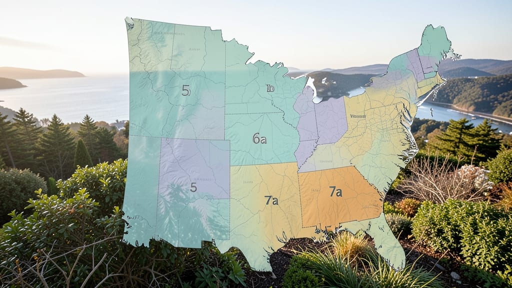
Understanding Massachusetts' garden zones matters because the state's diverse geography creates microclimates that affect planting success. 🌿 Coastal areas like Cape Cod experience milder winters due to ocean currents, while inland regions near the Berkshires face colder temperatures.
The USDA map divides the state based on average annual minimum temperatures, which directly impacts when you can plant cool-season crops or overwinter perennials. For example, Zone 5a areas may see frost as late as May, while Zone 7a coastal gardens might allow year-round planting of tender perennials.
This zone variation explains why some gardeners in western Massachusetts struggle with late frosts while coastal gardeners can grow subtropical plants like hibiscus. The elevation changes—especially in the mountains—create additional temperature shifts that aren't always reflected in the standard USDA map.
I always recommend checking your exact location using the USDA Plant Hardiness Zone Map and adjusting planting dates accordingly.
💡 In This Article
- How Massachusetts’ Geography Affects Garden Zones
- Best Plants for Massachusetts Garden Zones
How Massachusetts’ geography affects garden zones
Massachusetts' garden zones vary dramatically due to its coastal geography and elevation shifts. The Atlantic Ocean creates a moderating effect on coastal areas like Cape Cod and the South Shore, where Zone 6b-7a prevails. This happens because water absorbs and releases heat slowly, preventing extreme temperature drops.
In contrast, inland regions near the Berkshires and Quabbin Reservoir dip into Zone 5a, where average minimum temperatures can reach -20°F to -15°F.
The state's highest elevations, like Mount Greylock at 3,491 feet, experience even colder microclimates due to the 3.5°F temperature drop per 1,000 feet elevation gain rule.
The USDA divides Massachusetts into these zones based on 30-year average annual minimum temperatures, measured at 5 feet above ground in open areas. Coastal Zone 7a areas (like Nantucket) average 0°F to 5°F winters, while inland Zone 5a (like North Adams) sees -20°F to -15°F.
This 25°F difference translates to a 2-3 week difference in last spring frost dates, with coastal areas typically frost-free by April 15 and inland areas by May 1. 🌊 The Gulf Stream's warm currents explain why coastal gardens can support subtropical plants like oleander or bougainvillea that would freeze in inland zones.
Microclimates further complicate zone classification. Urban areas like Boston experience urban heat islands that can push zones half a zone warmer due to concrete and asphalt retaining heat. Conversely, protected valleys (like the Connecticut River Valley) can be 2-3°F colder than surrounding areas due to cold air settling.
Gardeners in these areas should test their specific microclimate by monitoring frost dates for 3-5 years—this gives more accurate planting guidance than relying solely on USDA maps.
Elevation plays a critical role in western Massachusetts. The Berkshire Mountains create temperature inversions where cold air pools in valleys, potentially dropping zones by 1-2 levels. For example, Lenox (Zone 6a) sits at 1,200 feet, while nearby Great Barrington (Zone 5b) at 800 feet experiences colder nights.
This elevation effect explains why highbush blueberries thrive in coastal Zone 6b but struggle in Zone 5a without winter protection. The state's diverse topography means gardeners should consider both their elevation and distance from coast when selecting plants.
Seasonal variations also matter. Coastal areas may have 20% fewer frost days than inland zones, allowing for earlier spring plantings. However, these same areas face higher humidity and more salt spray, which can stress plants like roses or hydrangeas that prefer drier conditions.
Inland gardeners, meanwhile, deal with drier air and more temperature swings, requiring different moisture management strategies. These geographic factors explain why zone 6a plants might thrive in coastal areas but struggle in Zone 5a without proper winter mulching.
For precise planting guidance, I recommend using the USDA Interactive Plant Hardiness Zone Map and cross-referencing with local agricultural extension service data.
Many Massachusetts counties have 1-2°F variations within their borders—knowing your exact microclimate can mean the difference between a thriving garden and frost-damaged plants. 🌱 The state's diverse geography makes it a fascinating case study in how topography shapes gardening possibilities.