
Planting
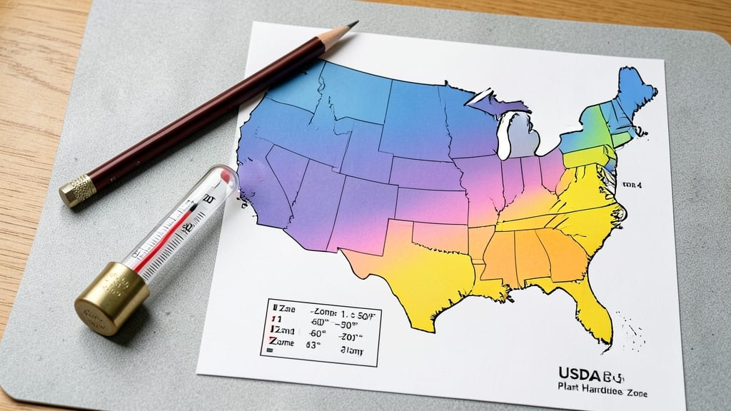
To find out what horticulture zone you live in, check the USDA Plant Hardiness Zone Map for your location, which categorizes the U.S. into 13 zones based on average annual minimum temperatures and local growing conditions. Enter your ZIP code or address for the most accurate zone assignment.
Your horticulture zone is essentially your gardening climate classification, determined by the coldest average winter temperatures in your area. 🌱 The USDA map divides the country into zones numbered from 1 (coldest) to 13 (warmest), helping you select plants that thrive in your specific conditions.
For example, Zone 5 can handle temperatures down to -20°F, while Zone 10 rarely drops below 30°F. Microclimates—like sunny south-facing slopes or sheltered valleys—can also shift your effective zone by one or two numbers.
Once you've identified your zone, you'll know which plants are best suited for your region. For instance, blueberries thrive in Zones 3-7, while citrus trees prefer Zones 9-11. The USDA updates the map periodically to reflect climate change, so always check the latest version for the most precise information.
This knowledge is your first step toward creating a thriving garden tailored to your local environment.
💡 In This Article
- How USDA Plant Hardiness Zones Determine Your Gardening Climate
- Step-by-Step Guide to Finding Your Exact USDA Zone
How USDA plant hardiness zones determine your gardening climate
The USDA Plant Hardiness Zone Map relies on average annual minimum temperatures to classify regions. Each zone represents a 10°F range, with Zone 1 enduring temperatures as low as -60°F, while Zone 13 stays above 60°F. These temperatures determine which plants can survive winter dormancy—critical for perennial growth.
For example, a peach tree in Zone 5 (hardy to -20°F) would freeze in Zone 3 (-40°F) but thrive in Zone 7 (-5°F).
Microclimates—small areas with unique conditions—can shift your effective zone by 1-3 degrees. A south-facing slope might be 5°F warmer than the surrounding area, allowing you to grow Zone 7 plants in Zone 6 territory.
Conversely, low-lying areas or shaded spots can be 2-5°F colder. Elevation also plays a role: every 1,000 feet gain in altitude typically drops temperatures by 3-5°F, making mountain gardens behave like higher-numbered zones.
Climate change is causing zones to shift northward and upward. Since 1990, average temperatures have risen by 1.5°F in many regions, pushing Zone 6 conditions into areas previously classified as Zone 5.
The USDA updates its map every 10 years to reflect these changes, ensuring gardeners have the most current data. For instance, parts of New York that were Zone 5 in 2012 are now Zone 6 due to warming trends.
Understanding these factors helps you make informed planting decisions. For example, in a Zone 6a area (-10°F to -5°F), you might successfully grow cold-hardy vegetables like kale (Zone 2-11) but struggle with tender basil (Zone 10-11) unless you start it indoors or use row covers.
The map’s precision ensures you avoid costly mistakes like planting frost-sensitive crops too early.
Beyond temperature, the map accounts for last spring frost dates and first fall frost dates, which vary by zone. In Zone 4, the growing season typically runs from mid-May to early October, while Zone 10 enjoys year-round warmth with minimal frost risk.
This seasonal data is crucial for timing plantings and harvests, ensuring optimal growth cycles.
For urban gardeners, city heat islands can create 2-10°F warmer conditions than rural areas just miles away. A backyard in downtown Chicago (Zone 5b) might feel more like Zone 6a due to asphalt and concrete absorbing heat.
Always verify your exact location on the USDA’s interactive map, which overlays these urban heat effects with satellite imagery for accuracy.