
Container Gardens
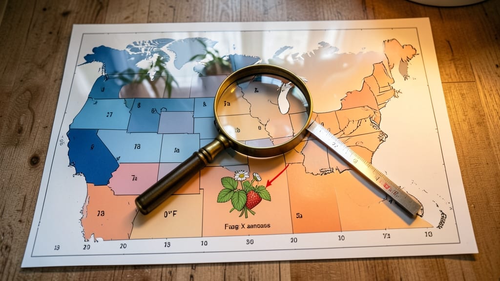
To determine your growing zone, check the USDA Plant Hardiness Zone Map, which divides regions by average minimum winter temperatures (e.g., Zone 5-9). This classification helps you select plants that survive your local climate.
Your growing zone is essentially a climate-based address for your garden, telling you which plants will thrive year-round in your area. 🌱 The USDA system uses 10°F temperature increments to create zones, with Zone 1 being the coldest and Zone 13 the warmest.
For example, Zone 6 can handle temperatures down to -10°F, while Zone 9 rarely drops below 20°F. This system helps you avoid costly mistakes like planting tropical plants in freezing climates or frost-sensitive crops in chilly regions.
What makes this especially useful is how it accounts for microclimates—small areas with slightly different conditions than the surrounding region. A south-facing wall, for instance, might create a Zone 8 microclimate even if your official zone is 7.
I always recommend verifying your exact zone using the USDA Interactive Map or local agricultural extension services for the most accurate planting guidance.
💡 In This Article
- How USDA Plant Hardiness Zones Work
- How to Locate Your Growing Zone Quickly
How USDA plant hardiness zones work
The USDA Plant Hardiness Zone Map divides the country into 13 zones based on the average annual minimum winter temperature—measured over a 30-year period. Each zone represents a 10°F increment, with Zone 1 enduring temperatures as low as -60°F and Zone 13 rarely dropping below 60°F.
This system helps gardeners predict which plants can survive winter's harshest conditions in their area.
Frost dates are critical because they signal when plants can safely be planted outdoors. For example, in Zone 5, the last spring frost typically occurs around April 15, while Zone 9 might see its last frost as early as March 1.
These dates determine whether tender annuals like tomatoes or peppers have enough time to mature before frost kills them. 🌿 The map also accounts for heat zones, which measure summer highs—important for heat-sensitive crops like lettuce or basil.
Microclimates can shift your effective growing zone by 1-2 zones in small areas. A sunny, south-facing slope might be 5-10°F warmer than the surrounding landscape, allowing you to grow plants rated for a warmer zone.
Conversely, low-lying areas or shaded spots can be colder. This is why I always recommend testing your microclimate by planting a frost-sensitive crop (like basil) and observing its survival.
Elevation plays a surprising role too—temperatures drop about 3.5°F per 1,000 feet in elevation. A mountain garden at 5,000 feet might function like a Zone 2 even if the valley below is Zone 6.
The USDA map adjusts for this by using elevation contours, but local data from weather stations can refine your zone further.
What most gardeners don't realize is that urban heat islands can push zones upward by 1-3 degrees. Asphalt and concrete absorb heat during the day and release it at night, creating warmer microclimates in cities.
This is why a downtown garden might thrive with plants rated for Zone 8, even if the surrounding suburbs are Zone 7.
For the most accurate results, cross-reference the USDA map with local frost records from your nearest weather station. Many states also publish cold hardiness charts for specific plants, which can help fine-tune your zone knowledge beyond the general map.